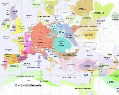
Just discovered a very good website which provides on the net maps of the world over various time periods. It is called Atlas Historique Periodique: "UN ATLAS DÉCRIVANT, EN 21 CARTES, LES ÉTATS DE CE CONTINENT À LA FIN DE CHAQUE SIÉCLE de l'an 1 à l'an 2000".
Below is Europe in 1400:


No comments:
Post a Comment